


Coastal British Columbia is bracing for a series of potent storms expected to hit the region this weekend and next week, prompting the River Forecast Centre to issue a Flood Watch for the South Coast and Vancouver Island. The Flood Watch is for Howe Sound, Sunshine Coast, Sea-to-Sky, North Shore Mountains, and Fraser Valley-North, including tributaries from Port Coquitlam to Harrison Vancouver Island.

On the South Coast, flooding concerns are for tributaries around Howe Sound, including the Stawamus River, Squamish River, Mamquam River, and Cheakamus River and tributaries around the North Shore, Fraser Valley North, and the Sunshine Coast. “Current forecasting indicates the strongest atmospheric river event making landfall on Monday, with the potential for additional rainfall in the middle of next week,” the centre notes.
Areas around Howe Sound, Sunshine Coast, Vancouver Island, Metro Vancouver, Sea-to-Sky, and Fraser Valley are expected to receive between 70 and 250 mm of precipitation. However, the heaviest rainfall is predicted over West Vancouver Island and the Coast Mountains, with total rainfall from Saturday to Wednesday expected to be between 200 to 300 mm and more in some areas.

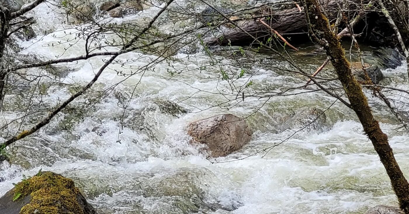
As temperatures rise, snowmelt will provide additional runoff to rivers, causing them to rise over the weekend and next week. River levels are expected to peak from Sunday to Thursday, and there is a high likelihood of moderate and even severe flooding in some areas.
The River Forecast Centre has issued a High Streamflow Advisory for Lower Fraser tributaries and Central Coast, including areas around Pemberton and Lillooet River tributaries, Fraser Valley-East and Fraser Canyon. On Vancouver Island, the flooding risk is for Gold River, Salmon River, Somass/Sproat Rivers, Englishman River, Qualicum River, Chemainus River, Cowichan River, and other surrounding rivers.
There remains uncertainty over the amounts of rainfall and the locations of the heaviest rainfall. The River Forecast Centre has advised that elevated flood hazards may be possible in nearby areas, particularly if the storm tracks or patterns change from the current forecast. The agency warns that fast-flowing rivers pose an increased risk to life safety.
Prepared BC has more resources for preparing or recovering from a disaster.

One Comment