


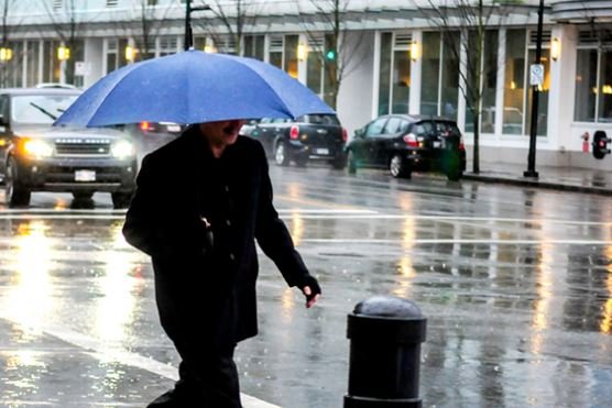
An atmospheric river is set to dump up to 70 millimetres of rain on Squamish today, bringing the risk of flooding, landslides, and utility outages, according to Environment Canada.
In a rainfall warning issued Tuesday morning, the federal weather agency stated that periods of rain this morning will intensify to heavy downpours this afternoon when a Pacific frontal system arrives. The heavy rain will continue through the evening before tapering to showers overnight.
“Another round of precipitation brought about by a Pacific frontal system, fuelled with an atmospheric river, will bring more rain to parts of southwestern B.C today,” the warning reads.
The Sea to Sky community can expect between 50 and 70 mm of total rainfall before conditions improve on Wednesday morning. The warning also alerts residents to a risk of thunderstorms overnight Tuesday into early Wednesday morning.
According to Environment Canada, temperatures will remain steady near 7°C during the day before rising to 10°C this evening and then falling. South winds of 20 km/h will increase to 40 km/h gusting to 60 km/h late this evening before diminishing before morning.
The rainfall warning covers Howe Sound, including Squamish, as well as Metro Vancouver’s North Shore and northeast areas, and parts of the Fraser Valley. Environment Canada warns that water will likely pool on roads and in low-lying areas, with significant impacts expected during rush hour traffic.
“Local utility outages are possible. Landslides may occur in vulnerable areas such as steep slopes, deforested areas, or recent burn scars,” the warning states. The weather agency observed conditions at 7 a.m. Tuesday from Squamish Airport, where the temperature was 6.1°C with 99 percent humidity and falling barometric pressure. The outlook calls for showers on Wednesday with a 60 percent chance of precipitation and a high of 7°C.
Looking ahead, the wet weather pattern is expected to continue with rain forecast for Thursday and a transition to mixed rain and snow by Friday as temperatures drop. Normal temperatures for this time of year are a high of 2°C and a low of -3°C.
Residents are urged to avoid driving through flooded roadways and to watch for washouts near rivers, creeks, and culverts. Environment Canada advises monitoring weather updates and reporting severe weather to BCstorm@ec.gc.ca or on X using #BCStorm.
