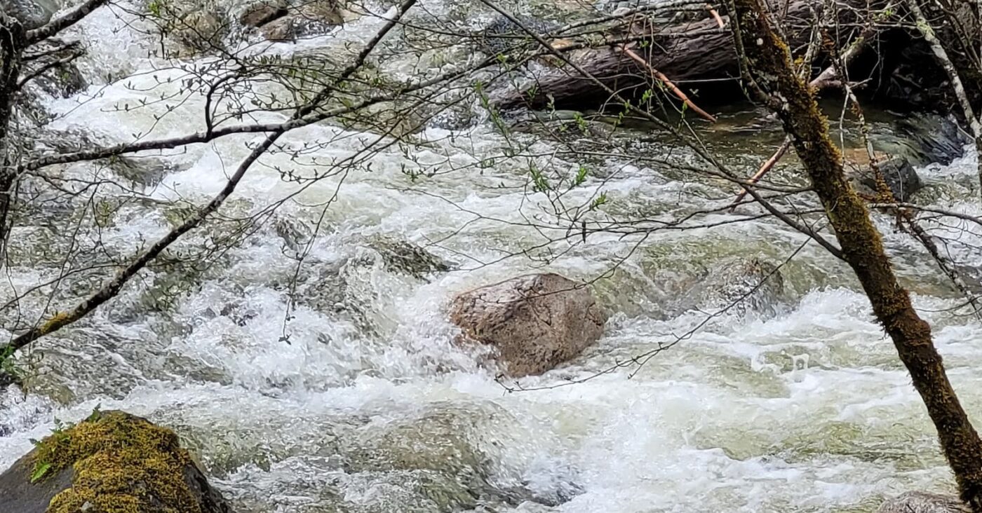
A Flood Watch has been issued for Howe Sound as a series of atmospheric rivers continues to impact the region, bringing prolonged periods of moderate to heavy rainfall, warmer temperatures, and additional runoff from rain-on-snow melt.
A Flood Watch means that river levels are rising and will approach or may exceed bankfull. Flooding in areas near affected rivers may occur.
Temperatures are expected to rise into next week, with the potential for significant snowmelt — estimated at 25 to 100 millimetres from yesterday through Tuesday — particularly on mid-elevation terrain in Howe Sound and the surrounding North Shore Mountains.
Localized high river flows are expected due to heavy rainfall rates and rain-on-snow melt runoff. Peak river levels are expected through Monday, and flows may reach or exceed five-year to 10-year levels in areas under Flood Watch.
Expected impacts include road washouts, localized flooding, overbank flow, swift water hazards, and landslides. The Ministry advise residents to stay away from riverbanks, never drive through flooded roads and washouts, check road conditions in advance on DriveBC, and review personal flood response plans.
The River Forecast Centre is also maintaining a High Streamflow Advisory for the South Coast, remaining areas, including the Sea-to-Sky corridor, as ongoing rainfall and snowmelt continue to elevate river levels.


